
05
Feb
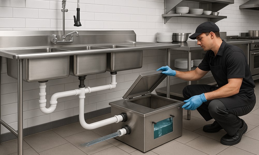
Commercial kitchens rely on efficient plumbing systems to operate smoothly and remain compliant with health regulations. One of the most critical components of these systems is a properly installed and maintained grease trap. Professional grease trap installation ensures fats, oils, and grease are safely captured before they enter the drainage system, preventing blockages, overflows, and costly plumbing emergencies.Businesses that work with an experienced commercial plumber benefit from long-term system performance, regulatory compliance, and uninterrupted operations.Importance of Proper Grease Trap InstallationA correctly designed and executed grease trap installation is essential for restaurants, hotels, cafeterias, and food processing facilities. Poor installation can…