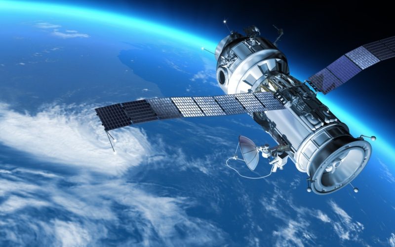
Each second is of value when disasters occur. The real-time processing, total coverage and lifesaving data derived using satellite imagery are like a game-changer in disaster management as the entire scenario can be predicted during the disasters, hence saving lives and a lot of harm.
It could be a flood that requires prediction or a bushfire that requires assessment, but the bird-eye view provided by the satellite leads the authorities to quick decisions. Companies such as OnGeo Intelligence, the geospatial analytics market leader, use free satellite images and other modern data to develop emergency response plans.
Predicting and Preventing Disasters
Satellite imagery does not only respond; it initiates. Experts are capable of seeing ahead of the disaster through soil moisture analysis, the health of the vegetation and analysis of terrain due to which high-risk places are found before due time.
- Floods: The satellite data assists in producing maps of flood-prone areas in advance so that early warning and planning of evacuation can be done.
- Wildfires: Hotspots of dry vegetation and deadwood can be identified so that prevention is possible.
- Landslides: Unstable slopes are evident in soil composition and patterns of soil erosion, and this helps in hazard mapping.
With free satellite data, agencies can create risk models and implement mitigation strategies, reducing potential devastation.
Real-Time Response During Emergencies
During disaster events, high-definition images are provided by the use of satellites to assist in rescue missions.
- Flood Mapping: Optical and SAR (Synthetic Aperture Radar) images penetrate clouds and show submerged areas to assist in figuring out rescue efforts.
- Wildfire Tracking: Multispectral images penetrate through the smoke and display active fire fronts and where the firefighters can move.
- Earthquake Damage Assessment: Comparisons done before and after show collapsed buildings that indicate to the charity to give aid to the areas of concern.

For organizations wondering how to get free satellite images, programs like Copernicus EMS provide emergency mapping services at no cost, ensuring responders have the latest intel.
Post-Disaster Recovery and Reconstruction
Satellites remain crucial even after the immediate crisis.
- Damage Assessment: Destruction is quantified through high-resolution images, which accelerate the insurance claims and providing of aids.
- Reconstruction Monitoring: Periodic reports closely monitor the progress of the rebuilding to maximize the resources used.
Free satellite imagery archives allow comparisons over time, offering a clear picture of recovery efforts.
Why Satellites Outshine Other Methods
-
- Speed: Hardly 15-minute deliveries after capturing.
- Coverage: Single images span thousands of square kilometers.
- Detail: 30 cm resolution reveals individual structures, roads, and even vehicles.
- Accessibility: No terrain or political obstacles, which is perfect in case of remote location or a conflict zone.
Final Thoughts
Satellite imagery is central to equitable disaster management in terms of prevention and recovery. Be it free satellite data available via Copernicus or state-of-the-art analytics provided by companies such as OnGeo Intelligence; this technology enables those responders to be quicker, more intelligent and more effective in their work.
Satellites are the only hope in a world which is increasingly falling to disasters, and each picture tells a story. Wonder how to reach out to satellite intelligence in your projects? To utilize this important tool, it is possible to delve into open-source systems or contact geospatial specialists.

